


0Thu 27 Jun 12:00
6Thu 27 Jun 18:00
12Fri 28 Jun 00:00
18Fri 28 Jun 06:00
24Fri 28 Jun 12:00
30Fri 28 Jun 18:00
36Sat 29 Jun 00:00
42Sat 29 Jun 06:00
48Sat 29 Jun 12:00
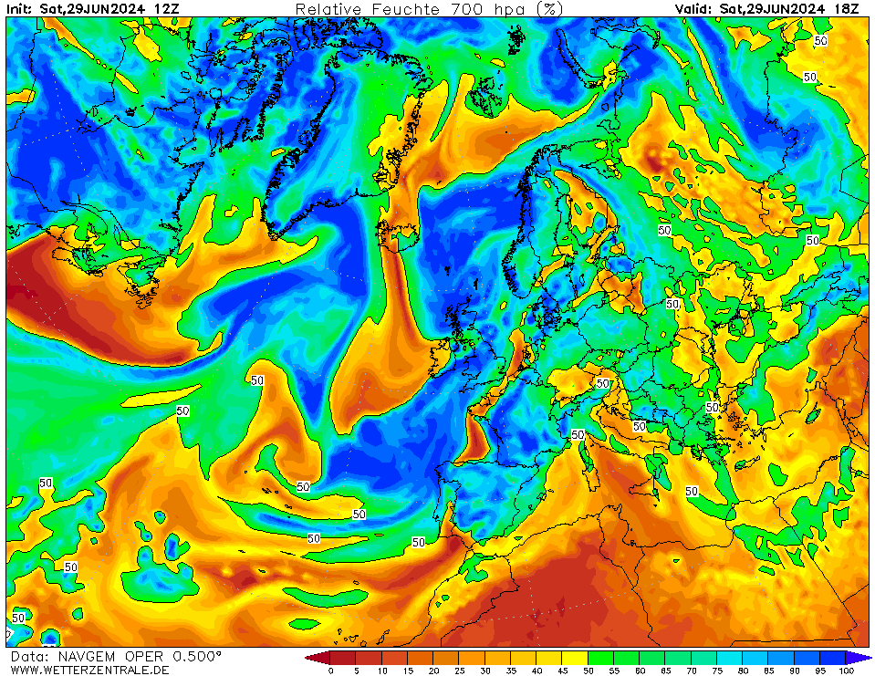
54Sat 29 Jun 18:00
60Sun 30 Jun 00:00
66Sun 30 Jun 06:00
72Sun 30 Jun 12:00
84Mon 01 Jul 00:00
96Mon 01 Jul 12:00
108Tue 02 Jul 00:00
120Tue 02 Jul 12:00
132Wed 03 Jul 00:00
144Wed 03 Jul 12:00
156Thu 04 Jul 00:00
168Thu 04 Jul 12:00
180Fri 05 Jul 00:00
URL of this map